Fájl:MAX Light Rail Car (Multnomah County, Oregon scenic images) (mulDA0008a).jpg

MAX_Light_Rail_Car_(Multnomah_County,_Oregon_scenic_images)_(mulDA0008a).jpg (488 × 324 képpont, fájlméret: 36 KB, MIME-típus: image/jpeg)
|
Ez a fájl a Wikimedia Commonsból származik. Az alább látható leírás az ottani dokumentációjának másolata. A Commons projekt szabad licencű kép- és multimédiatár. Segíts te is az építésében! |
| Leírás |
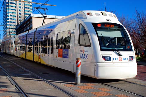
English: A TriMet MAX light rail transit car at the Oregon Convention Center in Portland. |
|||||
| Dátum | ||||||
| Forrás | ||||||
| Szerző |
English: Gary Halvorson, Oregon State Archives |
|||||
| Engedély (Fájl újrafelhasználása) |
|
|||||
| Photo No. | mulDA0008a | |||||
| Camera | Nikon D80 Digital SLR | |||||
| Lens | Nikon AF-S DX Zoom-Nikkor 18-135mm f/3.5-5.6G IF-ED | |||||
| Dimensions | 3687 x 2448 pixels (300 dpi version) Available for purchase from the Oregon State Archives. | |||||
| Keywords | English: horizontal, Oregon, Multnomah County, Portland, Lloyd District, Oregon Convention Center, MAX, light rail, train, car, tracks, blue sky, rapid transit, public transportation |

_(mulDA0008a).jpg)
| Fényképező elhelyezkedése | | További képek erről a helyről: OpenStreetMap |
|---|
_(mulDA0008a).jpg¶ms=045.530130_N_-122.662610_E_globe:Earth_type:camera_region:US-OR_heading:110.00&language=hu)
Fájltörténet
Kattints egy időpontra, hogy a fájl akkori állapotát láthasd.
| Dátum/idő | Bélyegkép | Felbontás | Feltöltő | Megjegyzés | |
|---|---|---|---|---|---|
| aktuális | 2012. április 15., 23:12 | | 488 × 324 (36 KB) | Smallbot | Commons:Bots/Requests/Smallbot 2: Uploading scenic images from Oregon State Archives |
Fájlhasználat
Az alábbi lapok használják ezt a fájlt:
Globális fájlhasználat
A következő wikik használják ezt a fájlt:
- Használata itt: de.wikipedia.org
- Használata itt: en.wikipedia.org
- Használata itt: ja.wikipedia.org
_(mulDA0008a).jpg)