Fájl:Phoenix Islands Kiribati.jpg

Az előnézet mérete: 800 × 578 képpont További felbontások: 320 × 231 képpont | 640 × 462 képpont | 821 × 593 képpont.
Eredeti fájl (821 × 593 képpont, fájlméret: 74 KB, MIME-típus: image/jpeg)
|
Ez a fájl a Wikimedia Commonsból származik. Az alább látható leírás az ottani dokumentációjának másolata. A Commons projekt szabad licencű kép- és multimédiatár. Segíts te is az építésében! |
| Leírás |
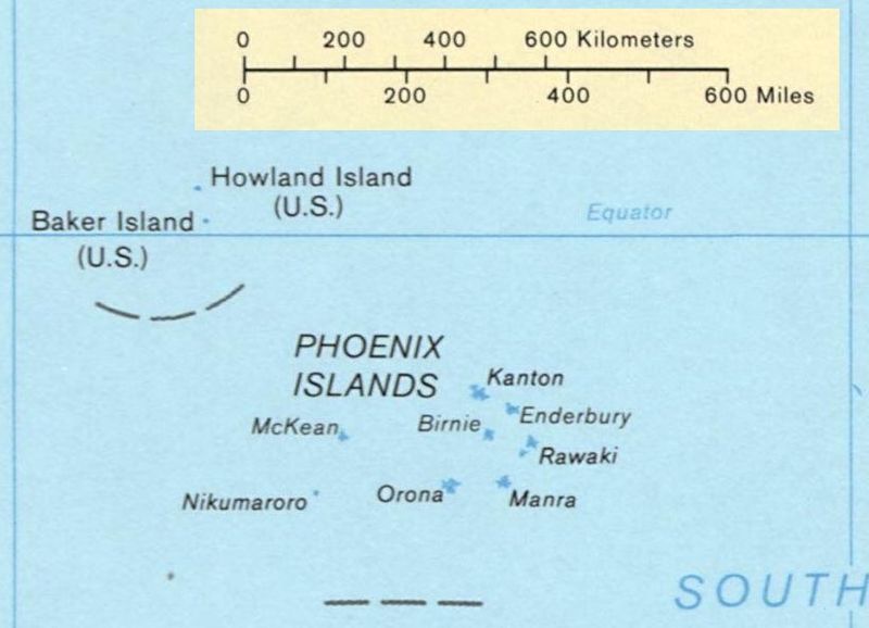
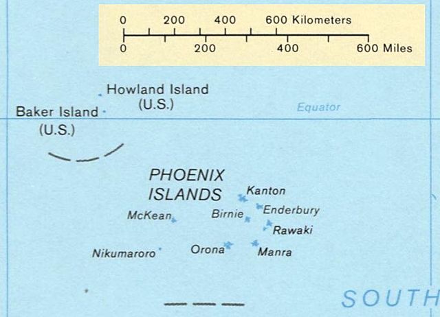
Deutsch: Karte der Phoenixinseln, Kiribati
English: Map of the Phoenix Islands, Kiribati
Español: Mapa de las Islas Fénix, Kiribati |
|||
| Forrás | US government | |||
| Szerző | US Library of Congress | |||
| Engedély (Fájl újrafelhasználása) |
|
|||
| Más változatok | Image:Kiribati map LOC.jpg, entire map |

Fájltörténet
Kattints egy időpontra, hogy a fájl akkori állapotát láthasd.
| Dátum/idő | Bélyegkép | Felbontás | Feltöltő | Megjegyzés | |
|---|---|---|---|---|---|
| aktuális | 2008. február 4., 02:23 | | 821 × 593 (74 KB) | Indolences | {{Information |Description={{en|Map of the Phoenix Islands, Kiribati}} {{es|Mapa de las Islas Phoenix, Kiribati}} |Source= US government |Date= |Author= US Library of Congress |Permission={{PD-USgov}} |other_ver |
Fájlhasználat
Ezt a fájlt nem használja egyetlen lap sem.
Globális fájlhasználat
A következő wikik használják ezt a fájlt:
- Használata itt: ca.wikipedia.org
- Használata itt: hr.wikipedia.org