Fájl:WW Samara Bend - Geocover 2000.png
Az előnézet mérete: 800 × 585 képpont További felbontások: 320 × 234 képpont | 640 × 468 képpont | 926 × 677 képpont.
Eredeti fájl (926 × 677 képpont, fájlméret: 1,66 MB, MIME-típus: image/png)
|
Ez a fájl a Wikimedia Commonsból származik. Az alább látható leírás az ottani dokumentációjának másolata. A Commons projekt szabad licencű kép- és multimédiatár. Segíts te is az építésében! |
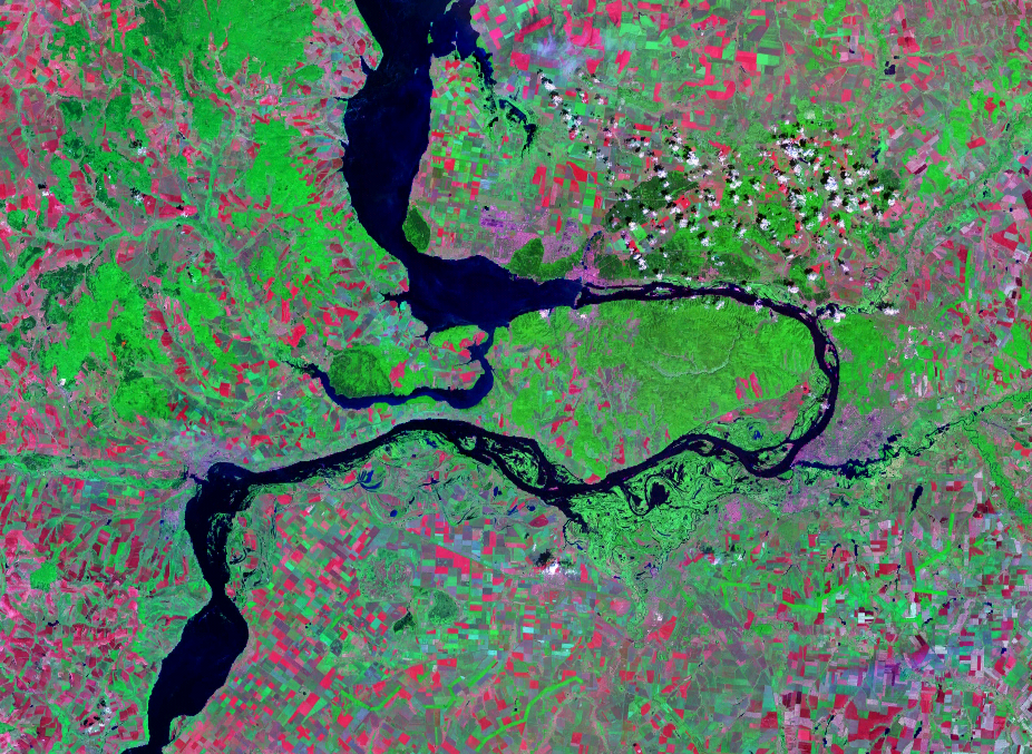
| Leírás | Satellite image of the Samara Bend in the Volga River | |||
| Dátum | Geocover 2000 dataset | |||
| Forrás | Nasa World Wind | |||
| Szerző | Nasa | |||
| Engedély (Fájl újrafelhasználása) |
|

Fájltörténet
Kattints egy időpontra, hogy a fájl akkori állapotát láthasd.
| Dátum/idő | Bélyegkép | Felbontás | Feltöltő | Megjegyzés | |
|---|---|---|---|---|---|
| aktuális | 2007. augusztus 14., 15:28 | | 926 × 677 (1,66 MB) | Hardscarf | |
| 2007. augusztus 14., 15:20 |  | 1 024 × 677 (1,48 MB) | Hardscarf | {{Information |Description=Satellite image of the Samara Bend in the Volga River |Source=Nasa World Wind |Date=Geocover 2000 dataset |Author=Nasa |Permission={{PD-World Wind}} |other_versions= }} Category:Samara Oblast Category:Volga River |
Fájlhasználat
Az alábbi lap használja ezt a fájlt:
Globális fájlhasználat
A következő wikik használják ezt a fájlt:
- Használata itt: be-tarask.wikipedia.org
- Használata itt: be.wikipedia.org
- Használata itt: cv.wikipedia.org
- Használata itt: en.wikipedia.org
- Használata itt: es.wikipedia.org
- Használata itt: fr.wikipedia.org
- Használata itt: ig.wikipedia.org
- Használata itt: ja.wikipedia.org
- Használata itt: la.wikipedia.org
- Használata itt: mk.wikipedia.org
- Használata itt: nl.wikipedia.org
- Használata itt: pl.wikipedia.org
- Használata itt: pt.wikipedia.org
- Használata itt: ru.wikipedia.org
- Használata itt: sr.wikipedia.org
- Használata itt: uk.wikipedia.org
- Használata itt: www.wikidata.org